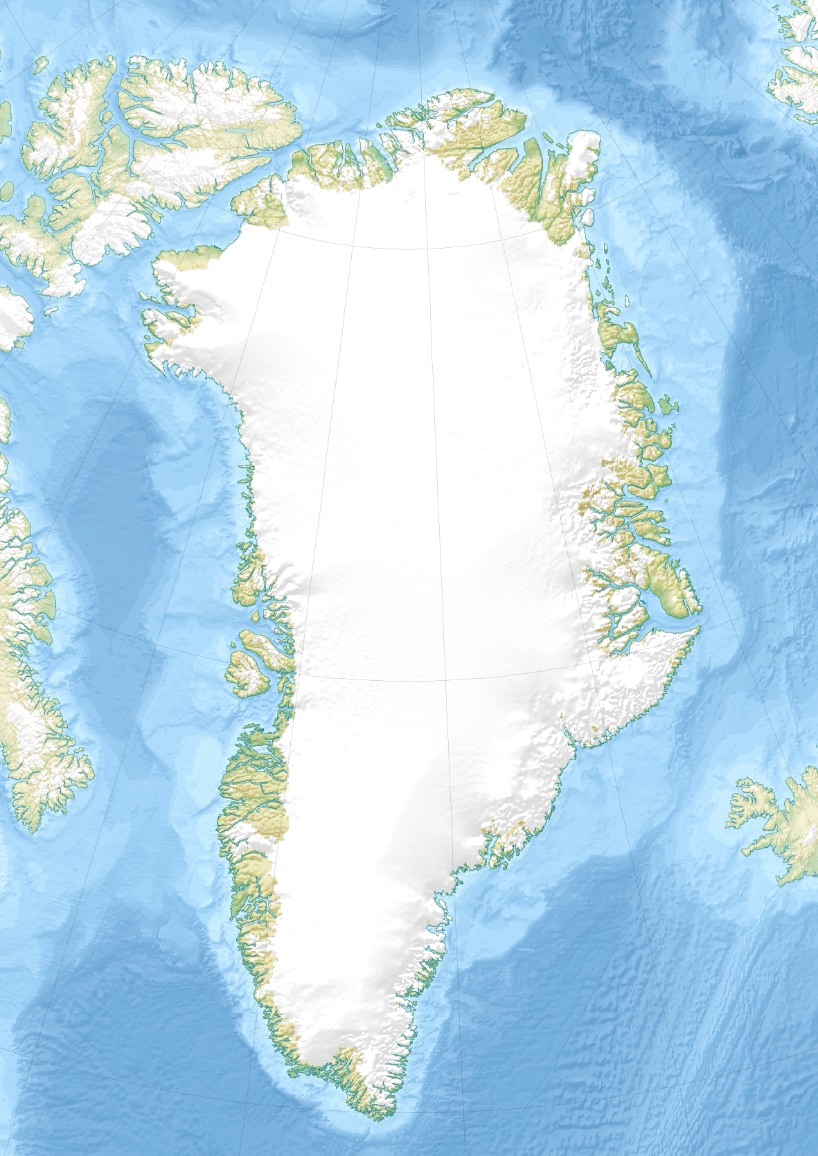
ATOW1996

ATOW1996

ATOW1996
КоординатыКоординаты: 83°40′34.8″ с. ш. 30°38′38.6″ з. д. / 83.676333° с. ш. 30.644056° з. д. (G) (O) (Я)83°40′34.8″ с. ш. 30°38′38.6″ з. д. / 83.676333° с. ш. 30.644056° з. д. (G) (O) (Я) (T)
Акватория Северный Ледовитый океан
Страна Flag of Denmark.svg Дания
АЕ первого уровня Гренландия
АЕ второго уровня Северо-Восточный Гренландский национальный парк
ATOW1996 (Гренландия)
Red pog.svg
ATOW1996
Население (2012 год) 0 чел.

ATOW1996 — самый северный документально подтверждённый участок суши. Это небольшой скалистый островок (шхера) длиной 10 метров и шириной 1 метр, расположенная в нескольких километрах севернее мыса Моррис-Джесуп в северной Гренландии. Координаты: 83°40′34.8″ с. ш. 30°38′38.6″ з. д. / 83.676333° с. ш. 30.644056° з. д. (G) (O). Была открыта в ходе экспедиции (American) Top of the World в 1996 году и назван в её честь.

О полёте над ещё более северным островком с координатами 83°41′06″ с. ш. 30°45′36″ з. д. / 83.685° с. ш. 30.76° з. д. (G) (O) сообщила экспедиция Return to the Top of the World Expedition (RTOW2001), но для подтверждения его существования требуется проведение более тщательных изысканий, включая посещение острова.

Другой остров, названный 83-42, был найден на координатах 83°42′05.2″ с. ш. 30°38′49.4″ з. д. / 83.701444° с. ш. 30.647056° з. д. (G) (O). Это также крохотный островок, 35 на 15 метров и высотой в 4 метра. Пока не подтверждено, постоянный это остров или временный.

См. также

Ссылки


Wikimedia Foundation. 2010.

Игры ⚽ Поможем сделать НИР

Полезное


Смотреть что такое "ATOW1996" в других словарях:

  • ATOW1996 — ist eine winzige Insel im Arktischen Ozean, die bis zur Entdeckung von RTOW2001 als nördlichste Landfläche der Erde angesehen wurde. Inhaltsverzeichnis 1 Lage und Größe 2 Entdeckung und Namensgebung 3 Status von ATOW1996 als Landfläch …   Deutsch Wikipedia

  • ATOW1996 — is a small island that is documented as the northernmost land on earth. It is located several miles north of Cape Morris Jesup in northeastern Greenland at coord|83|40|34.8|N|30|38|38.6|W. It is only about 10 meters long and one meter high.… …   Wikipedia

  • 82-43 — Vorlage:Infobox Insel/Wartung/Bild fehltVorlage:Infobox Insel/Wartung/Fläche fehlt Schmitt´s Island / 83 42 Gewässer Nordpolarmeer Geographische Lage …   Deutsch Wikipedia

  • 83-42 — Vorlage:Infobox Insel/Wartung/Bild fehltVorlage:Infobox Insel/Wartung/Fläche fehlt Schmitt´s Island / 83 42 Gewässer Nordpolarmeer Geographische Lage …   Deutsch Wikipedia

  • Schmitt's Island — Vorlage:Infobox Insel/Wartung/Bild fehltVorlage:Infobox Insel/Wartung/Fläche fehlt Schmitt´s Island / 83 42 Gewässer Nordpolarmeer Geographische Lage …   Deutsch Wikipedia

  • Schmitt’s Island — Vorlage:Infobox Insel/Wartung/Bild fehltVorlage:Infobox Insel/Wartung/Fläche fehlt Schmitt’s Island / 83 42 Gewässer Nordpolarmeer Geographische Lage …   Deutsch Wikipedia

  • Oodaaq — ist eine winzige Sand , Kies und Schlickbank nordöstlich von Grönland und wird in manchen Quellen – wohl zu Unrecht – als die nördlichste Landfläche der Erde bezeichnet. Heute wird zumeist davon ausgegangen, dass Oodaaq nicht mehr existiert… …   Deutsch Wikipedia

  • 2008 Ultima Thule — DMS …   Deutsch Wikipedia

  • RTOW2001 — ist eine winzige Insel im Arktischen Ozean, die möglicherweise als nördlichste Landfläche der Erde anzusehen ist. Inhaltsverzeichnis 1 Lage und Größe 2 Entdeckung und Namensgebung 3 Anerkennung als Landfläche …   Deutsch Wikipedia

  • Greenland — For other uses, see Greenland (disambiguation). Greenland Kalaallit Nunaat (Kalaallisut) Grønland (Danish) …   Wikipedia


Поделиться ссылкой на выделенное

Прямая ссылка:
Нажмите правой клавишей мыши и выберите «Копировать ссылку»